If you want quiet streets, quick trail access, and easy drives to downtown, Redding’s westside might be your match. Choosing the right pocket takes more than a quick map search though. You want a feel for daily life, price ranges, and what to expect before you tour homes. This guide breaks down Mary Lake, Country Heights, and Sunset Terrace so you can compare outdoor access, amenities, schools, and housing options with confidence. Let’s dive in.
Westside Redding at a glance
Westside Redding sits west of the Sacramento River and downtown. Local guides commonly include Mary Lake, Country Heights, and the Sunset/Sunset Terrace area in this cluster. These neighborhoods offer a suburban feel with mature trees, pocket parks, and notable trail access you can reach without leaving town. Neighborhood snapshots on Homes.com provide helpful overviews of location and character.
Citywide market snapshots in early 2026 put Redding’s median listing and value metrics in the low to mid $400,000s. Each westside pocket trades within overlapping bands of that city median. When you get serious about a specific home, focus on current MLS comps in that micro-pocket for the clearest picture.
Outdoor access and parks
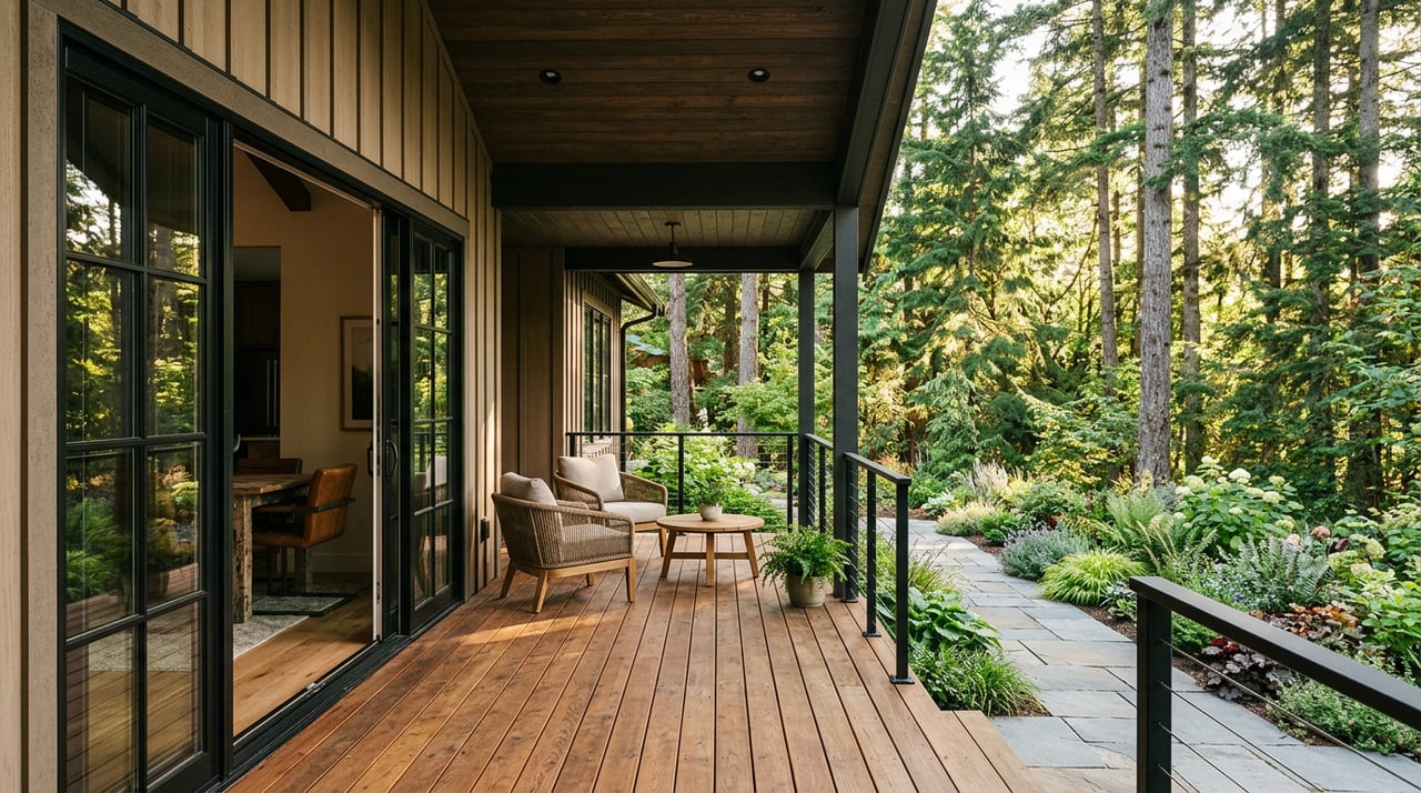
If time outside matters to you, the westside stands out. Mary Lake Park anchors the neighborhood, and the nearby Westside singletrack climbs to views locals call the “Top of the World.” You can start with short loops from Mary Lake and link into longer rides or runs across the larger trail network. See a local Westside trails overview for context.
Country Heights features a central neighborhood park with a playground, shade, and a small court, plus paved multi-use paths along Buenaventura Boulevard that residents use for walking and biking. Sunset and Mary Lake also offer mature trees and pocket green spaces. The City of Redding Parks, Trails, and Open Space plan outlines broader park and trail priorities.
For weekend adventures, Whiskeytown National Recreation Area is a short drive west for trails, waterfalls, and time on the water.
Everyday shopping and dining
You’ll find daily needs along the Bechelli, Buenaventura, and Placer corridors, where small restaurants and services cluster. Local guides point to independent eateries and delis nearby, with downtown Redding a quick drive for more dining and events. For bigger grocery runs and national chains, the Mt. Shasta retail corridor and nearby big-box options are close, and there is a Trader Joe’s in Redding. The Redding Chamber’s restaurant list is a handy menu of local options.
Commute and getting around
Driving is the norm for most westside residents. Key routes include Buenaventura Boulevard, Placer Street, and Bechelli Lane, with direct access to I-5 for north–south travel. Depending on your exact address and time of day, drives to downtown often range from about 8 to 20 minutes. Country Heights is commonly cited as roughly 10 minutes to downtown and under 20 minutes to Redding Regional Airport. The Redding Area Bus Authority (RABA) serves some westside stops, though service frequency is limited compared with driving. You can find neighborhood-level insights in local westside guides.
Schools and family services
Children on the westside commonly attend Redding elementary and middle schools, then move on to Shasta Union High School District campuses. Examples often associated with westside addresses include Manzanita Elementary, Sequoia Middle, Juniper K–8 (address-dependent), and Shasta High. Always verify parcel-to-school assignments with the district before you decide. For quick reference, see the Manzanita Elementary profile on GreatSchools.
Housing options and prices
Prices shift month to month, and medians vary by platform. Use these as general signals, then confirm with current MLS comps.
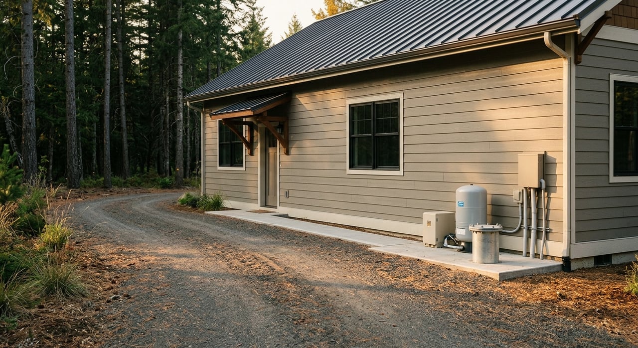
Mary Lake: lakeside pocket with trails
Mary Lake is a lake-centered subdivision with single-level ranch and two-story homes built mainly in the 1980s–2000s. The small natural lake and connected trails are daily-life focal points. Neighborhood snapshots in early 2026 show a typical range where 2–3 bedroom starters often appear in the mid to high $300,000s, many 3–4 bedroom homes run about $400,000 to $525,000, and larger or upgraded properties trade above that. See a Mary Lake neighborhood overview.
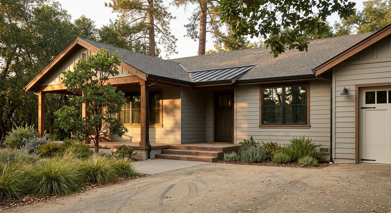
Country Heights: established hillside suburb
Country Heights is one of West Redding’s larger, established subdivisions. You’ll see ranch-style and contemporary homes from the late 1980s through the 2000s, with select blocks on larger or view lots. A neighborhood park and trail connections add to the outdoor convenience. Typical price signals range from mid $300,000s for single-level starters to $450,000–$700,000 for newer, larger, or remodeled homes, depending on size and views. Many areas do not have an HOA. Explore the Country Heights local guide.
Sunset / Sunset Terrace: mature, established setting
Sunset and Sunset Terrace include mid-century and 1960s–1970s-era homes alongside later remodels. Lots tend to be larger with mature trees, and the area is often described as an established westside setting. Neighborhood listing medians are commonly higher than Mary Lake or Country Heights, frequently reported in the $500,000–$600,000 band in early 2026, with modest homes sometimes in the mid $300,000s–$400,000s and well-updated or larger properties above $550,000. See a Sunset neighborhood snapshot.
Practical checks before you tour
A thoughtful first visit can save you time and help you compare homes.
Wildfire and insurance
- California and local wildfire maps have been updated. Check the parcel’s current Fire Hazard Severity Zone and confirm insurance availability and premiums with a broker before you write an offer. Start with the Shasta County Fire Hazard Severity Zones page.
Property tax basics
- Shasta County property taxes follow California’s structure: generally about 1 percent of assessed value plus voter-approved assessments. For parcel-level questions, see the Shasta County Tax Collector.
Walkability and transit
- Westside pockets are mostly car-dependent, though many have bikeable sections and excellent trail access. If walking to daily services is a priority, scout routes near Bechelli and Buenaventura corridors for specific addresses.
Neighborhood feel and due diligence
- Drive the area at different times, talk with neighbors where appropriate, and review official police data for a fuller picture. Treat third-party crime summaries as directional only.
Buyer’s quick checklist
- Ask the listing agent for the last 6 months of closed comps in the immediate micro-pocket.
- Walk the lot and note slope, drainage, and any signs of erosion or fill.
- Confirm the parcel’s wildfire zone and get an insurance quote in writing before making an offer.
- Verify school assignment with district boundary maps and ask about any recent changes.
- Test-drive to key destinations at your target commute times.
- Visit local trailheads like Mary Lake and the “Top of the World” routes to gauge activity and noise.
- Confirm utility providers and any neighborhood-specific fees or assessments.
Is Redding’s westside right for you?
Choose Mary Lake if neighborhood trailheads and a lake-centric setting are high on your list. Consider Country Heights if you want an established hillside suburb with a neighborhood park and a mix of home sizes. Look to Sunset or Sunset Terrace if mature trees, larger lots, and an established setting appeal to you.
When you are ready to compare active listings, neighborhood comps, and property-specific details, reach out for local guidance. You can schedule a no-pressure consultation with Dustin Foster to plan your next steps.
FAQs
What are typical home prices in Mary Lake, Redding?
- Early 2026 snapshots show many 2–3 bedroom homes in the mid to high $300,000s, common 3–4 bedroom homes around $400,000–$525,000, and larger or upgraded properties above that; confirm with current MLS comps.
How long is the commute from Country Heights to downtown Redding?
- Country Heights is commonly cited as about a 10-minute drive to downtown and under 20 minutes to Redding Regional Airport, depending on the exact address and traffic.
What outdoor options are near Redding’s westside neighborhoods?
- Mary Lake Park and the connected Westside trails offer in-town hiking and biking, with views from “Top of the World,” and Whiskeytown National Recreation Area is a short drive for trails, waterfalls, and water access.
Which schools commonly serve westside Redding addresses?
- Many addresses feed to Manzanita Elementary, Sequoia Middle, Juniper K–8 (varies by parcel), and Shasta High; always verify with the district and see the Manzanita Elementary profile for quick reference.
How do I check wildfire risk and insurance for a westside home?
- Review the parcel’s Fire Hazard Severity Zone on the Shasta County map and ask an insurance broker about standard policy availability, premiums, and any need for the California FAIR Plan before making an offer.